Are Multi-Sensory Maps Possible

Metadata
- Author: Madhuri Karak
- Full Title: Are Multi-Sensory Maps Possible?
- Type: #snippet✂️
- Document Tags: #geospatial
- URL: https://containermagazine.co.uk/are-multi-sensory-maps-possible/
Highlights
- So how could outsiders map our own territory? I would think that we can do it ourselves, so why wasn’t the opportunity to map the land given to us? Why were outsiders given the opportunity to map our own territory?” (View Highlight)
- The act of mapping and governance are tightly linked: it is only by committing to paper the location, size, and boundaries of natural resources that extraction can begin. (View Highlight)
- With the availability of relatively cheap and easy to assemble handheld GPS devices from the mid-1990s, communities across the world turned to making their own maps. Threatened by pollution, resource extraction, or environmental disasters, communities challenged official maps with maps of their own. Unlike state-sanctioned maps’ emphasis on governance and ownership, community-created maps offer a powerful tool to recenter local relationships with landscapes. (View Highlight)
- Coordinates from handheld GPS sets were used to complement indigenous knowledges in the Kinipan participatory mapping process. Around the same time, neighbouring communities in West Kalimantan were using drones to map large swathes of forest impossible to cover on foot alone. (View Highlight)
- Radjawali readily acknowledges that drones are mere tools that temporarily “freeze” the earth into images i.e., maps that can have many after lives – as evidence of indigenous land stewardship over centuries in a court of law or as topographical information overlaid on satellite data for forest governance, to name only two. It is only a formal representation in a world dominated by formal representations. (View Highlight)
- Sounds evoke the voices and presences of non-human beings in the forest. These include birds, mammals, cassowaries and reptiles, but also the wind, rivers, streams, thunder and lightning. Chao says,
“Each of these entities…are seen by Marind to be their kin; each of them exists as persons of sorts and each of them have a voice that merits to be mapped and that brings maps to life beyond the sort of 2D visual representation by unfolding in their midst the various sonics of a living and sanctioned forest.” (View Highlight)
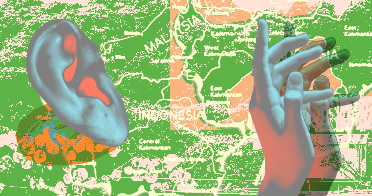
- Geospatial coordinates jostle with sound clips of mappers’ laughter, parrots’ squawks, and often, silence. (View Highlight)
- Indonesia’s massive archipelago-wide mapping exercise OneMap aims to resolve land conflict with data transparency, however, with disputes from organisations like AMAN, it leaves unanswered the question of what kind of data is most representative of a community’s understanding of its land and forest. If the purpose of producing data about land is merely to govern and extract, cartography as we know it has worked well.
But if the purpose of mapping data is to return control and power to the traditional stewards of land, our maps have to become more expansive, and encompass the fullest range of communities’ multi-sensory, multi-species worldviews. (View Highlight)