How Tracking Animal Movement May Save the Planet

- Author: Matthew Ponsford
- Full Title: How Tracking Animal Movement May Save the Planet
- Type: #snippet✂️
- Document Tags: #planet
- URL: https://www.technologyreview.com/2024/02/22/1088116/internet-of-animals-movement-research-earth/
Highlights
- Tiger sharks tend to hug the shoreline, explains marine biologist Austin Gallagher, but when he began tagging the 1,000-pound animals with satellite transmitters in 2016, he discovered that these predators turned away from it, toward two ancient underwater hills made of sand and coral fragments that stretch out 300 miles toward Cuba. They were spending a lot of time “crisscrossing, making highly tortuous, convoluted movements” to be near them, Gallagher says.
It wasn’t immediately clear what attracted sharks to the area: while satellite images clearly showed the subsea terrain, they didn’t pick up anything out of the ordinary. It was only when Gallagher and his colleagues attached 360-degree cameras to the animals that they were able to confirm what they were so drawn to: vast, previously unseen seagrass meadows—a biodiverse habitat that offered a smorgasbord of prey (View Highlight)
- Animals have long been able to offer unique insights about the natural world around us, acting as organic sensors picking up phenomena that remain invisible to humans. More than 100 years ago, leeches signaled storms ahead by slithering out of the water; canaries warned of looming catastrophe in coal mines until the 1980s; and mollusks that close when exposed to toxic substances are still used to trigger alarms in municipal water systems in Minneapolis and Poland. (View Highlight)
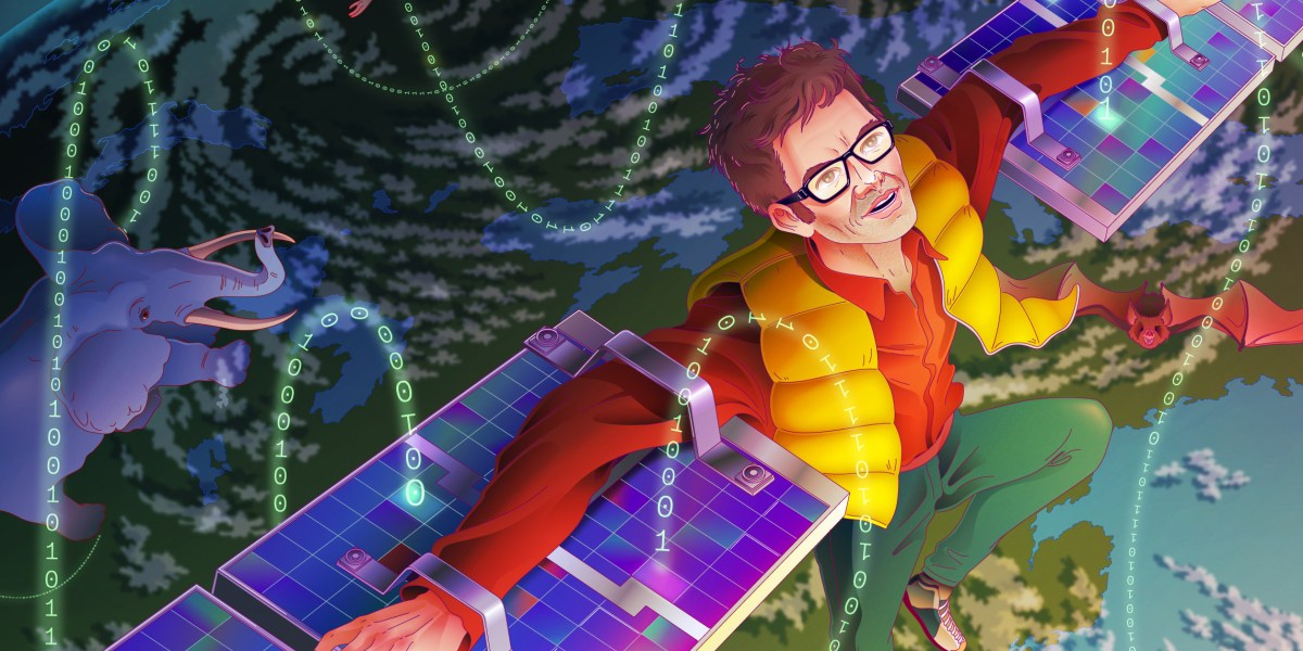
- These Fitbits for wild creatures, to use Wikelski’s analogy, could produce live location data accurate to a few meters and simultaneously allow scientists to monitor animals’ heart rates, body heat, and sudden movements, plus the temperature, humidity, and air pressure in their surroundings. The signals they transmitted would be received by a three-meter antenna affixed to the International Space Station—the result of a €50 million investment from the German Aerospace Centre and the Russian Space Agency—and beamed down to a data bank on Earth, producing a map of the animals’ paths in close to real time as they crisscrossed the globe. (View Highlight)
- It also aimed to show proof of concept for Wikelski’s dream of the past several decades: the Internet of Animals—a big-data system that monitors and analyzes animal behavior to help us understand the planet and predict the future of the environment. (View Highlight)
- Researchers have been laying the groundwork for years, connecting disparate data sets on animal movement, the environment, and weather and analyzing them with the help of AI and automated analytics. But Wikelski had his sights on something even grander and more comprehensive: a dashboard in which 100,000 sensor-tagged animals could be simultaneously monitored as near-real-time data flowed in from Earth-imaging satellites and ground-based sources. (View Highlight)
- By the 1890s, scientists had started tracking wild birds with bands fitted around their legs—but 49 out of every 50 ring-tagged birds were never seen again. Starting in the 1960s, thousands of birds received very-high-frequency radio tags known as “pingers,” but these were only powerful enough to broadcast a few kilometers. To capture the data, researchers had to embark on cartoonish chase scenes, in which tagged birds were pursued by an oversize homing antenna pointed out the roof of a car, plane, or hang-glider. (View Highlight)
- The other key advance has been in data systems, and in particular the growth of Movebank, a central repository of animal tracking data that was developed from Wikelski’s ARTS system. Movebank brings together terrestrial-animal tracking data from various streams, including location data from the Argos system and from new high-res digital satellites, like ICARUS’s antenna on the ISS. (There are also plans to incorporate CubeSat data.) To date, it has collected 6 billion data points from more than 1,400 species, tracking animals’ full life cycles in ways that Wikelski once could only dream about. It is now a key part of the plumbing of the animal internet. (View Highlight)
- Rather than a system of major satellites, the new incarnation of ICARUS will run on CubeSats: low-cost, off-the-shelf microsatellites launched into low Earth orbit (around the same height as the ISS) for around $800,000, meaning even developing nations that harbor space ambitions can be part of the project. CubeSats also offer the benefit of truly global coverage; the ISS’s orbital path means it can’t pick up signals from polar regions further north than southern Sweden or further south than the tip of Chile. (View Highlight)
- But, proponents argue, the initiative would beget a lot more information than other Earth-imaging space missions and be significantly cheaper than sending humans or drones to collect data from remote locations like polar ice sheets. Wikelski also emphasizes that no one entity will bear the cost. He is working with local communities in Bhutan, South Africa, Thailand, China, Russia, and Nigeria and gets requests from people across the world who want to connect tags to ICARUS. With cheap satellites and cheap tags, he sees a route to scale. (View Highlight)
